Gallery
This gallery brings together selected photographs from more than five decades of fieldwork, research expeditions, and collaborations in Germany, the eastern Mediterranean, the Middle East, and beyond. The images document an interdisciplinary approach that combines archaeological methods with scientific techniques to reconstruct past landscapes.
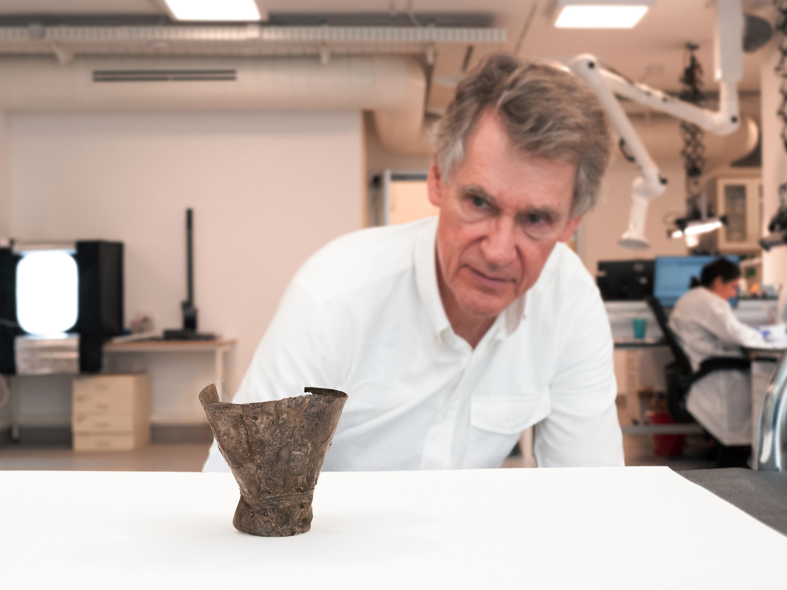
Jerusalem, Israel, 2025
In October 2025, the silver goblet from ˁAin Samiya was removed from its display case in the Israel Museum in Jerusalem for the first time in many years in order to be examined and photographed by Eberhard Zangger. Two weeks later, the interpretation of the cup’s iconography, dated to around 2300 BCE and authored by Zangger together with Daniel Sarlo and Fabienne Haas Dantes, was published.

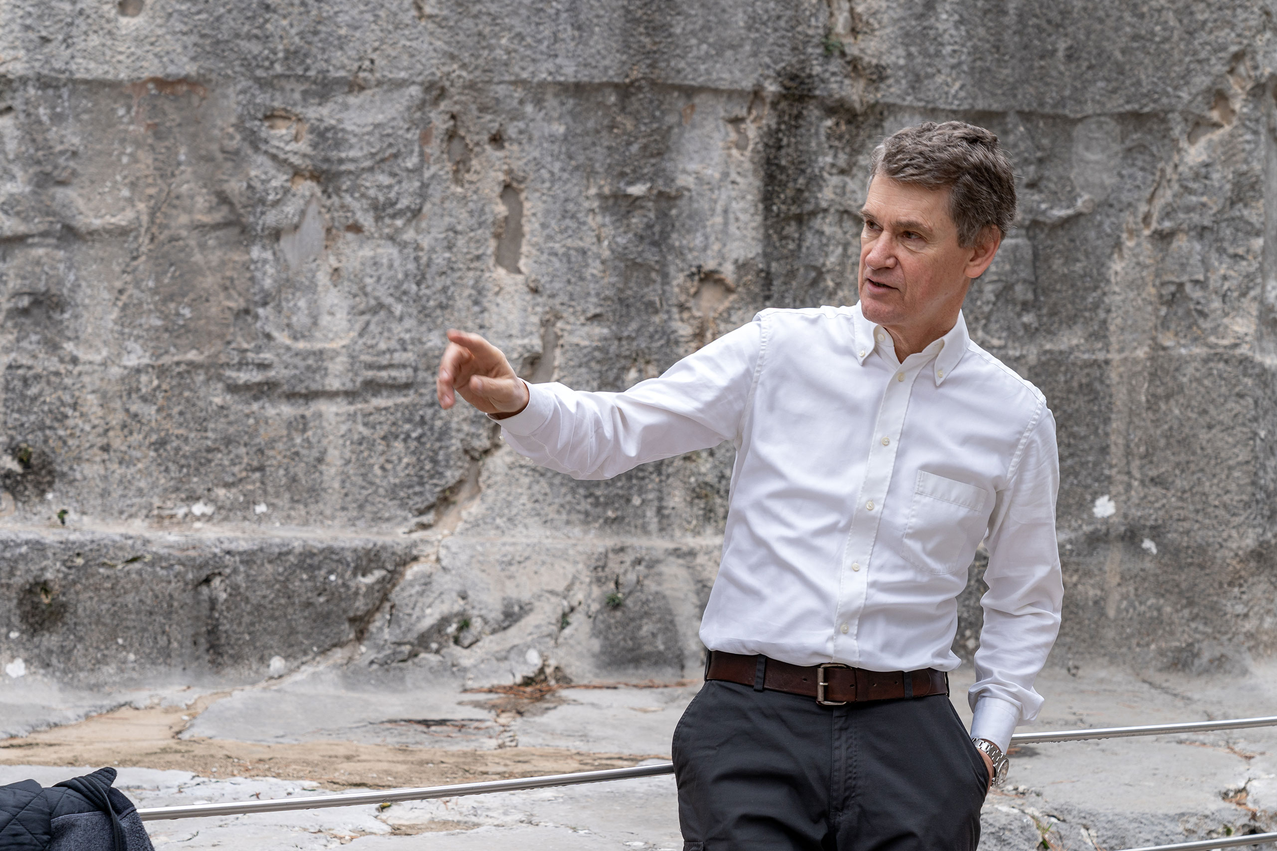
Troy, Türkiye, 2025
The condition of the archaeological remains around the artificial channel (“Kesik”) west of the citadel knoll of Troy has deteriorated markedly over the past 35 years as a result of intensive agricultural use. A group associated with the Getty Museum, organized by archaeologist Jeffrey Spier, is inspecting the surviving hydraulic structures.
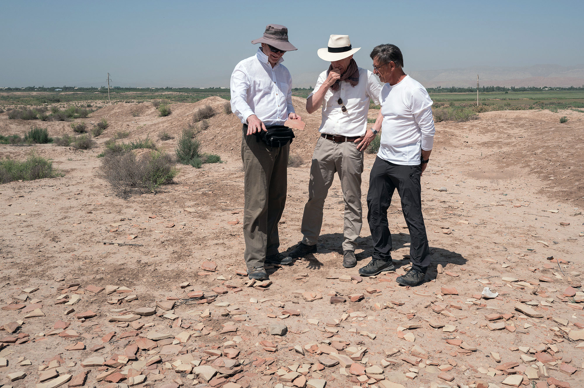
Termiz, Uzbekistan, 2025
The trade routes of the Bronze Age extended from the Aegean Sea to the tin deposits of what are now Uzbekistan, Tajikistan, and Afghanistan. The photograph was taken at Jarqoʻton, north of Termiz, in the remains of one of the largest settlements of Central Asia’s Late Bronze Age oasis culture. The photo shows Sergei Yazvenko, Professor of Ecology at the International Agricultural University in Tashkent, Michael Timpson, former environmental consultant at Environmental Resources Management in the USA.

Ephesus, Türkiye, 2025
Together with geodata specialist Alper Aşınmaz, a research trip to archaeological sites in western Turkey took place in 2025. In Selçuk, the researchers visited Ayasuluk Hill, where they were welcomed by Barış Gür and his team.

Medinet Habu, Egypt, 2024
The mortuary temple of Ramesses III at Medinet Habu (West Thebes) is widely regarded as a unique record of the invasion of the Sea Peoples at the beginning of the 12th century BCE. In August 2024, with midday temperatures exceeding 42°C, fieldwork – here with archaeology student Lauren R. Kreienbuehl – began each day at 6 a.m. The driver captured this moment.

Tomb of Seti I, Egypt, 2024
The ceiling of the vaulted burial chamber of Pharaoh Seti I in the Valley of the Kings (KV 17) offers profound insights into Egyptian astronomical concepts around 1300 BCE.

Sardinia, Italy, 2018
A growing engagement with archaeoastronomy and cosmology led Eberhard Zangger to key sites with astronomical references across the central and eastern Mediterranean – here the well sanctuary of Santa Cristina near Paulilatino in Sardinia.
Yazılıkaya, Türkiye, 2018
Further research at the Hittite rock sanctuary of Yazılıkaya revealed that the procession of deities also represents a schematic model of cosmic structures and cycles. Heaven, earth, and the underworld appear as divine, animated realms.

Yazılıkaya, Türkiye, 2015
Since 2015, Eberhard Zangger has investigated the rock sanctuary of Yazılıkaya together with the archaeologist and astronomer Rita Gautschy (in the background) from the University of Basel. In the foreground are astrophotographer Bernd Pröschold and illustrator Guido Köhler during fieldwork.

Hattusa, Türkiye, 2014
From 2011 onward, Eberhard Zangger began systematically recording Middle and Late Bronze Age settlements in western present-day Türkiye. Almost none of the nearly 500 known sites has been fully excavated; only Hattusa, the Hittite capital in central Anatolia, is well researched.
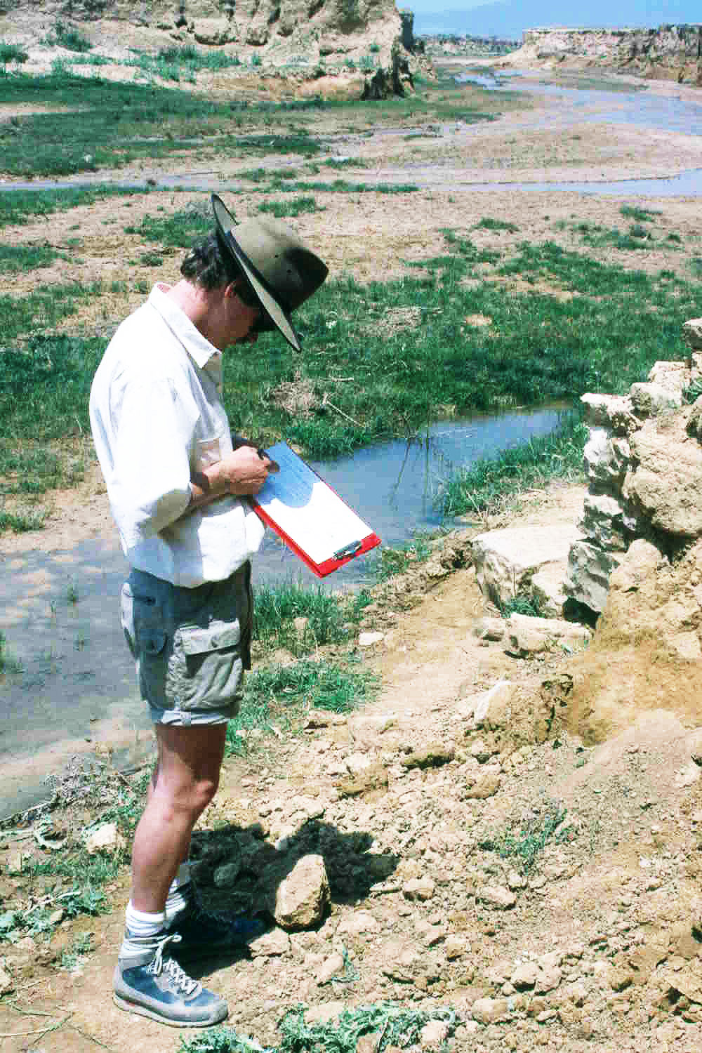
Troy, Türkiye, 1999
In February 1999, exceptionally heavy rainfall in the vicinity of Troy caused the long-silted former harbor basins on the plain (visible in the background) to fill with water once again. The deep artificial channel on the left side of the image made it possible for ships to be hauled some distance over land and into these port basins.

Troy, Türkiye, 1999
Since 1991, Eberhard Zangger has repeatedly visited the excavations at Troy, without ever being formally involved in the project. In 1999, he proposed investigating the sedimentary layers of the Trojan floodplain using helicopter-based geophysical survey methods, a project designed by geophysicist Falko Kuhnke from Braunschweig University.

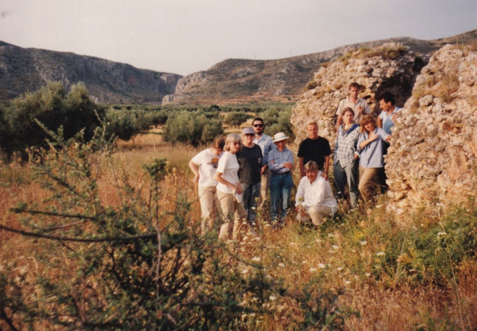
Thera, Greece, 1998
On the occasion of the publication of the book The Future of the Past, the publisher invited journalists on a press trip to Thera. On site, Zangger presented his reconstruction of the Bronze Age harbor of Akrotiri prior to the volcanic eruption.

Thera, Greece, 1996
During the 1990s, Eberhard Zangger studied the effects of the Minoan eruption of Thera as part of a project led by mathematician Joseph J. Monaghan from Monash University, Melbourne. The image shows thick layers of pumice deposited during the Minoan eruption.

Pylos, Greece, 1995
Also in the 1990s, three popular science books were published, all of them were translated into different languages. The resulting media attention led to film crews occasionally accompanying fieldwork.

Pylos, Greece, 1994
The Pylos-Regional-Archaeological-Project was co-directed by Jack L. Davis, Susan E. Alcock, John Bennet, Yannis A. Lolos, Cynthia Shelmerdine and Eberhard Zangger. At the Palace of Nestor on Epano Englianos, geophysical survey methods were applied on a large scale for the first time. Among the results was the discovery of a previously unknown fortification wall.

Pylos, Greece, 1993
The Pylos Regional Archaeological Project (PRAP) focused on reconstructing the economic system of the Mycenaean kingdom of Pylos. Eberhard Zangger and botanist Sergei Yazvenko extracted a sediment core from the Osmanaga Lagoon documenting 7,000 years of vegetation history.

Semaineh, Egypt, 1991
In the region of Naq Hammadi in Upper Egypt, a team led by Kathryn A. Bard (Boston University) investigated Neolithic settlements along the edge of the Nile floodplain. The photograph was taken during a brief visit to the Nile Delta.

Troodos, Cyprus, 1991
Throughout the Bronze Age, Cyprus was a major supplier of copper. Repeated deforestation for smelting led to severe erosion and sedimentation. A long-term project directed by A. Bernard Knapp (University of Cambridge) examined the island’s settlement and landscape history.

North Atlantic, United Kingdom, 1989
The Biogeochemical Ocean Flux Study (BOFS, 1988–1993) was among the first large collaborative research programmes of the UK Natural Environment Research Council (NERC). It formed the United Kingdom’s principal contribution to the North Atlantic Bloom Experiment within the Joint Global Ocean Flux Study (JGOFS). The two-month expedition to the North Atlantic in 1989 aboard the research vessel Discovery was led by Nick McCave (University of Cambridge).
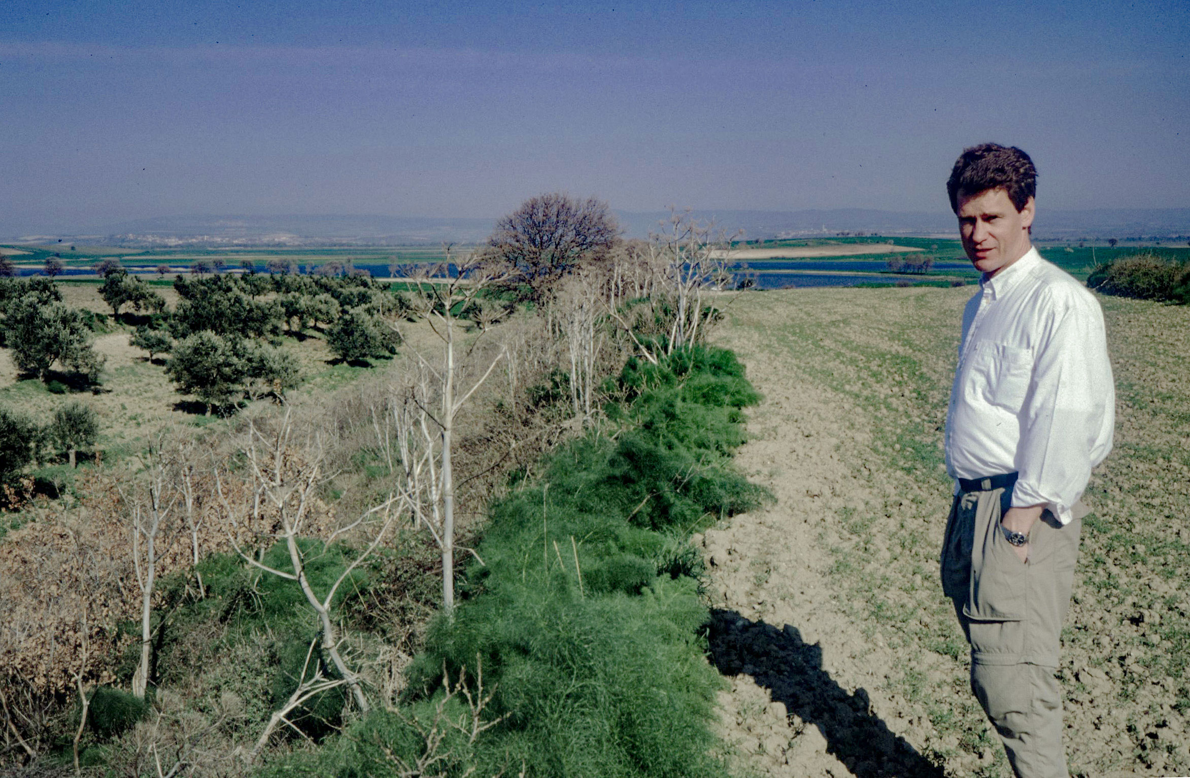
Segermes Valley, Tunisia, 1989
In the Segermes Valley near Hammamet in northern Tunisia, Danish archaeologists led by Søren Dietz studied how intensive agriculture was technically sustained during the Roman period under semi-arid conditions.
Berbati, Greece, 1988
During the Berbati–Limnes Survey (1988–1992), Eberhard Zangger served as co-director alongside Berit Wells and Curtis Runnels, with responsibility for the natural-science investigations.

Stanford University, United States, 1987
In the mid-1980s, the remote sensing laboratory led by Ronald “Ron” Lyon at the School of Earth Sciences at Stanford University carried out pioneering work in geological remote sensing. The group was among the first to systematically exploit satellite imagery for the mapping of landscapes, habitats, and the distribution of rocks and minerals, helping to establish methods that would later become standard in Earth observation and applied geoscience.

Tiryns, Greece, 1987
Between 1984 and 1988, the Holocene landscape history of the Argive Plain was reconstructed in part through the analysis of sediment cores from the plain. Here, Eberhard Zangger extracts a hand-auger core from a machine borehole to obtain minimally disturbed material, while Tjeerd H. van Andel (Stanford University) assists with the sieving of drill samples.

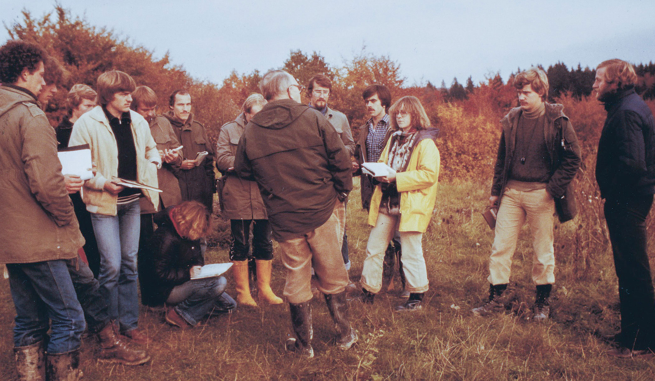
Tiryns, Greece, 1987
The prehistorian Klaus Kilian visits the drill cores together with archaeology students working on the excavations at Tiryns, on the grounds of the neighboring prison, where the results of the boreholes and the stratigraphy are explained and discussed.

Gulf of Argos, Nafplion, Greece, 1986
Tjeerd H. van Andel, professor at Stanford University, led the first expedition and dive with the manned submersible Alvin, during which he and two companions became the first humans to observe the unusual life forms surrounding hydrothermal vents at a depth of 2,500 meters in 1977. The photograph shows van Andel during one of his smallest oceanographic operations – collecting sediment samples by snorkel diving at a depth of 15 meters in the Gulf of Argos.

Tiryns, Greece, 1985
With the decision to focus on the reconstruction of landscapes around archaeological sites, Eberhard Zangger moved to Stanford University, where geoarchaeology had been established since the mid-1970s. For his doctoral research, he was assigned the reconstruction of the landscape history of the Argive Plain in Greece. The project was funded by the German Archaeological Institute, with Klaus Kilian as excavator of Tiryns. The photograph shows the seven-metre-thick walls at the entrance to the citadel of Tiryns.

North Sea, Germany, 1983
In the early 1980s, the Geological Institute of Kiel University was the only training centre for research divers in Germany. Certified divers subsequently carried out sedimentological investigations in the Baltic and North Seas.

Volos, Greece, 1982
In 1980, the German Research Foundation, together with the Volkswagen Foundation, planned a large-scale excavation at Iolkos, the only known but still unexcavated Mycenaean citadel near Volos, Greece. The designated excavation director was Bernhard Hänsel (Freie Universität Berlin). The preparatory landscape-archaeological studies formed Zangger’s master’s thesis at the University of Kiel (1982–1984).
Aalen, Germany, 1980
In 1980, the then president of the German Research Foundation, Eugen Seibold, led students for the last time on a two-week field excursion across the Swabian Alb, together with Gerold Wefer, who later became director of the Center for Marine Environmental Sciences (MARUM).

Messel Pit, Germany, 1977
As part of their training as geological preparators, students visited the Messel Pit near Darmstadt in 1977, where Eberhard Zangger had worked on retrieving Eocene fossils during his prior years at the Senckenberg Museum. The photograph shows the group with mineralogist Hans Dietrich Trochim and palaeontologist Wighart von Koenigswald.

Rhine-Main region, Germany, 1974–1976
In the mid-1970s, the Senckenberg Research Institute and Natural History Museum conducted extensive studies of fish populations in the Main and Rhine rivers under the direction of Wolfgang Klausewitz and Anton Lelek.